The preparation of illustrations for reports of the United States Geological survey : with brief descriptions of processes of reproduction (1920)
Ridgway, John L. (John Livesy), b. 1859, United States. Dept. of the Interior, Geological Survey (U.S.) · Washington, D.C. : Government Printing Office · leaf 52
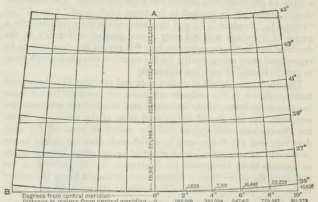
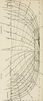
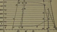
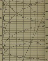
le. In projecting a map first select a convenient measuring scale for setting off the dimensions given in the tables, or if no scale is at hand one may be constructed. Measuring scales are made, however, bearing divisions for miles and kilometers and finer subdivisions of 5 to 100 parts. They… … Distance in meters from central meridian 0 911,379 7Z9,542 547,412 365,05* :82,568 Figure 5. — Diagram illustrating method of projecting a map. 1 inch would represent 1 mile ; on a map drawn on the scale of 1 to 1,000,000, 1 millimeter would represent 1 kilometer, and so on. It will be seen that…
Topographical drawing · Map drawing
Internet Archive · Getty Research Institute · Public domain (published before 1931). Free to use for anything.