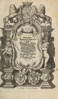
M. Z. Topographia Bohemiae, Moraviae Et Silesiae: das ist Beschreibung vnd eigentliche Abbildung der Vornehmsten vnd bekandtisten Stätte vnd Plätze in dem Königreich Boheim vnd einverleibten Landern Mähren vnd Schlesien
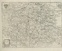
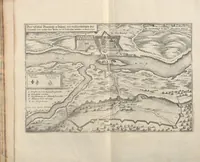
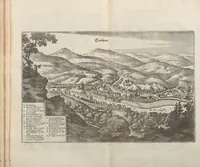
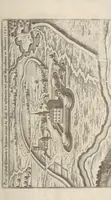
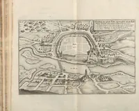
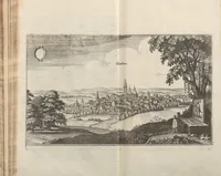
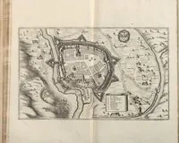
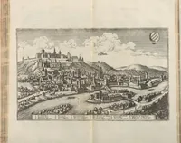
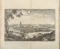
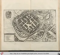
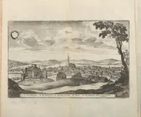
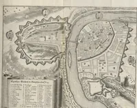
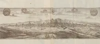
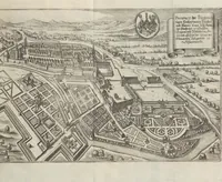
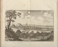
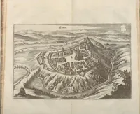
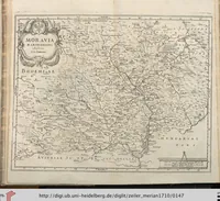
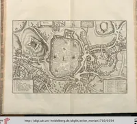
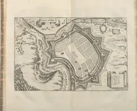
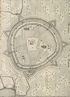
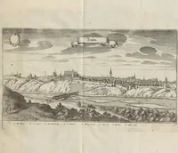
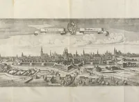
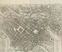
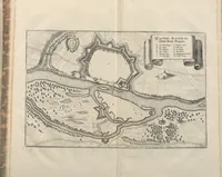
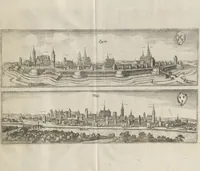
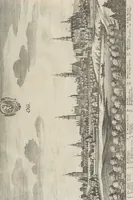
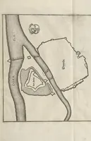
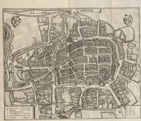
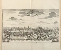
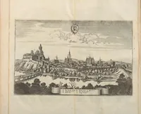
This 1710 German topographical book, compiled by Martin Zeiller and Matthaeus Merian the Elder, presents engraved views and plans of the principal towns and fortresses of Bohemia, Moravia and Silesia for readers wanting to know these places. The plates show fortified towns as bird's-eye plans with star-shaped bastions, street grids, rivers and surrounding fields, drawn in fine black line with small numbered key cartouches. A designer could take the plan-view layouts and cartouche frames as models for historical maps or fortification diagrams.