United States Exploring Expedition. During the year 1838, 1839, 1840, 1841, 1842
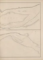
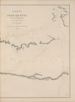
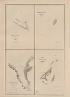
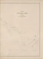
This is an atlas of charts from the United States Exploring Expedition of 1838 to 1842, printed in Philadelphia in 1844 by C. Sherman for a scientific and governmental readership. The pictures are copperplate-style nautical survey charts of Pacific islands, the Sulu Sea and the Straits of Juan de Fuca, drawn in fine hatched lines with sparse lettering and soundings. A designer might take the spare linework, dotted reef markings and stippled shorelines as a restrained model for maps, wayfinding or landscape diagrams.