United States Exploring Expedition. During the year 1838, 1839, 1840, 1841, 1842
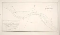
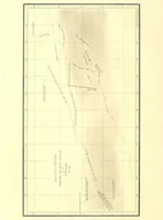
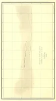
This is a government scientific report of the United States Exploring Expedition led by Charles Wilkes, printed in Philadelphia by C. Sherman in 1844 for public and scientific readers. The three plates are survey charts: long narrow route maps with fine grid lines, hand-drawn tracks, and engraved river outlines with a compass arrow and small inset plans. A designer could take their restrained cartographic linework, pale tinted paper, and handwritten-style labels as models for technical diagrams.