Topographia Bavariæ : das ist, Beschreib. vnd aigentliche Abbildung der vornembsten Stätt vnd Orth in Ober vnd Nieder Beÿern, der Ober Pfaltz, vnd anderen, zum hochlöblichen Baÿrischen Craisse hehörigen Landschaften
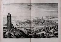
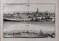
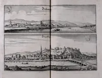
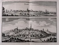
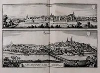
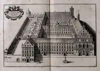
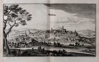
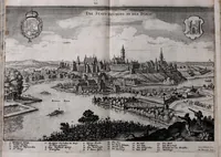
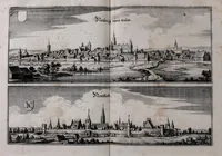
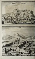
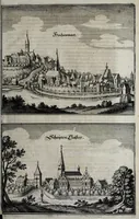
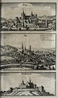
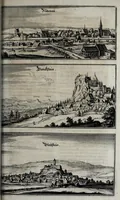
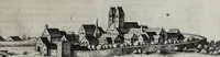
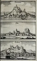
Topographia Bavariæ is a 1660 topographical book by Martin Zeiller, published in Frankfurt am Main by Matthäus Merian, describing and depicting the principal towns and places of Bavaria and the Upper Palatinate. The engraved views show walled towns, churches, castles and monasteries seen from a distance across open landscape, with lettered captions and heraldic shields. A designer could draw on their bird's-eye panoramas, dense town silhouettes and clear architectural outlines for historical map or cityscape work.