Statistical Atlas of the United States
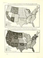
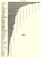
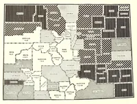
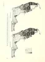
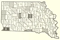
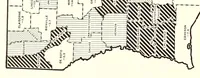
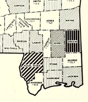
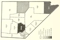
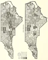
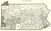
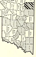
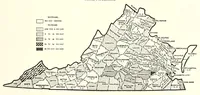
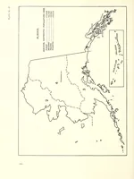
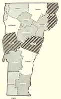
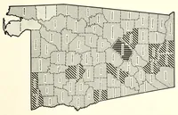
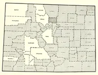
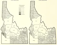
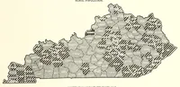
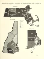
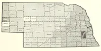
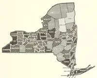
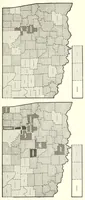
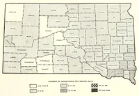
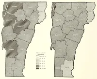
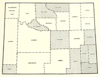
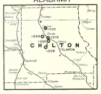
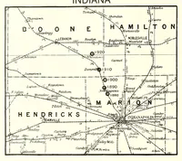
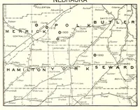
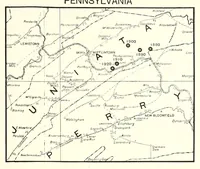
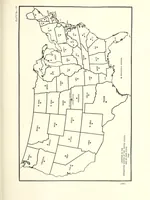
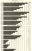
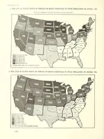
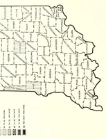
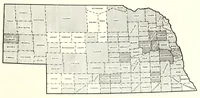
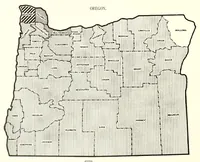
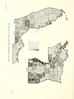
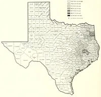
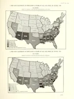
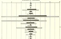
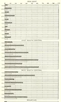
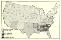
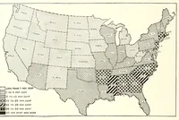
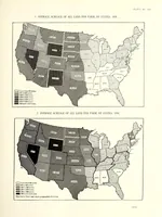
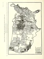
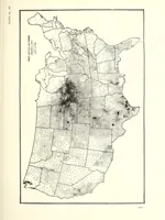
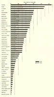
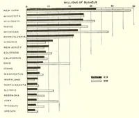
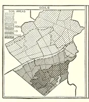
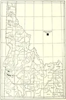
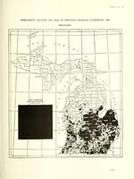
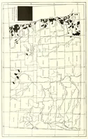
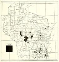
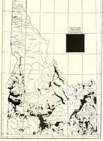
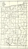
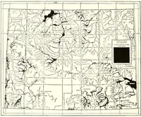
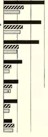
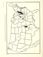
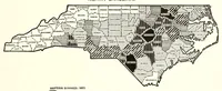
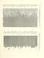
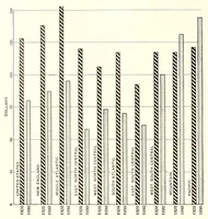
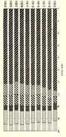
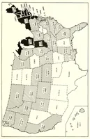
A government statistical atlas compiled under Charles S. Sloane and published in 1924 for the United States, presenting census and survey data as county-level maps. The pictures are plain black-and-white choropleth and thematic maps of Missouri, Nebraska and other states, with shaded counties, hatched patterns and keys in the margins. A designer could take from them the clean geometric logic of county boundaries and hatch-pattern legends for data graphics and infographic layouts.