Statistical Atlas of the United States
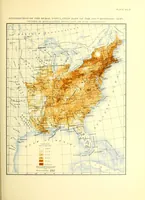
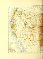
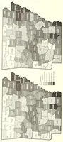
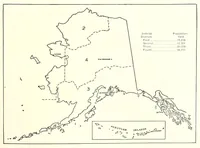
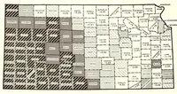
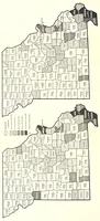
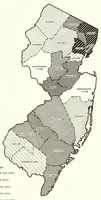
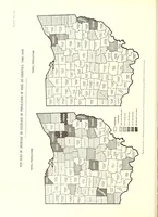
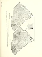
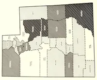
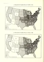
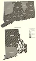
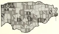
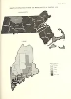
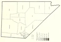
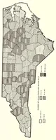
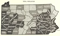
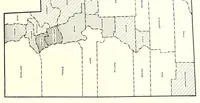
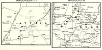
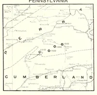
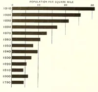
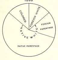
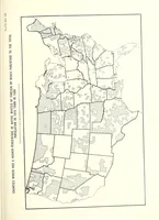
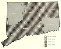
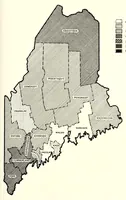
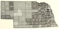
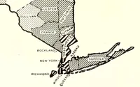
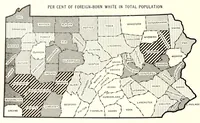
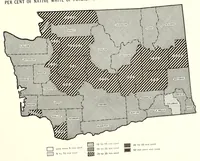
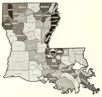
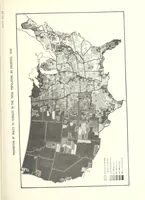
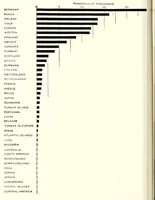
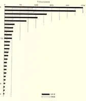
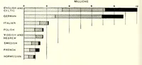
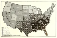
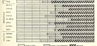
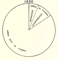
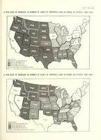
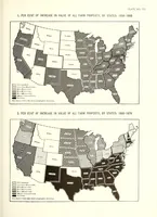
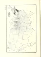
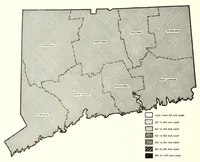
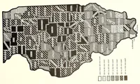
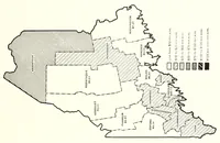
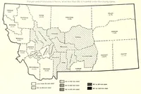
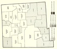
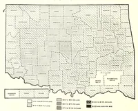
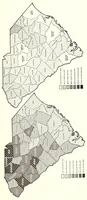
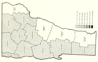
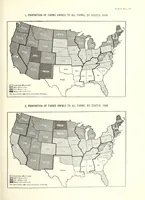
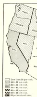
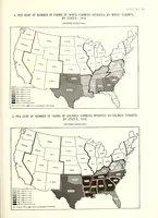
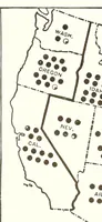
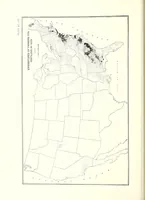
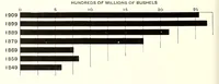
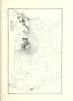
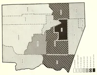
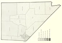
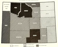
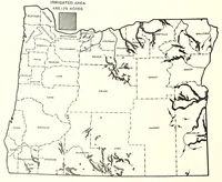
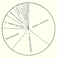
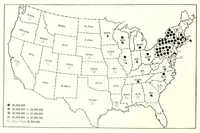
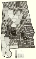
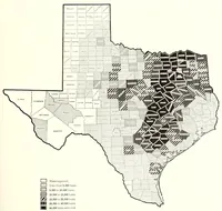
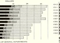
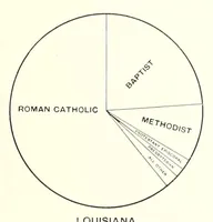
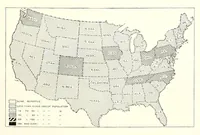
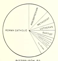
Statistical Atlas of the United States, compiled by Charles S. Sloane and published in 1914, is a government-style reference of choropleth maps that shade states and counties by measured rates. The pictures are plain black-and-white maps using hatching, stippling and crosshatch patterns in a series of tonal steps, with keys in the corners; a designer could borrow the tonal-step legends and pattern-based shading for data graphics.