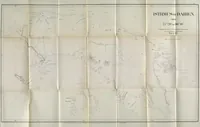
Report on interoceanic canals and railroads between the Atlantic and Pacific Oceans
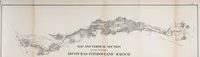
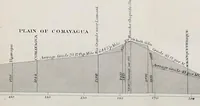
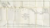
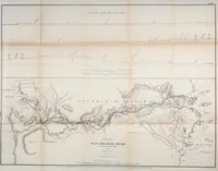
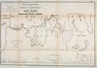
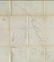
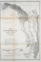
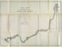
A government survey report published in Washington in 1867 by the United States Naval Observatory and Charles Henry Davis, mapping routes for interoceanic canals and railroads across Central America and the Isthmus of Darien for American engineers and policymakers. Its pictures are folded engraved maps and profile drawings, with fine line work, dense place names, and elevation sections a designer could use for topographic or route-diagram motifs.