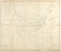
A project for a railroad to the Pacific
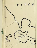
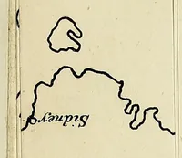
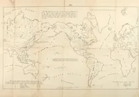
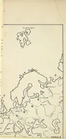
A printed 1849 proposal by Asa Whitney, published in New York, for a railroad linking the eastern United States to the Pacific coast, aimed at promoters and public readers of the period. Its pictures are plain line maps: one of Europe and Asia, a world chart with shipping and trade routes, a detail of Australia and New Guinea, and a North American map with proposed rail lines drawn across the continent in black ink on pale paper, a useful source for hand-drawn cartographic linework and simple route diagrams.