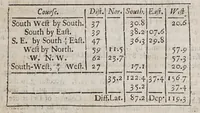
Practical navigation; or, An introduction to the whole art. : Containing many useful geometrical definitions and problems; the doctrine of plain and spherical triangles; plain Mercator, and great-circle-sailing; sundry useful problems in astronomy; the use of instruments; the azimuth-compass; ring-dyal; variation compass; the fore-staff, quadrant, plough, and nocturnal; the plain scale, Gunter's scale, sinical quadrant; plain chart; Mercator's-chart; both globes; the inclinatory-needle, and virtues of the load-stone; useful tables of the moon's age, of the tides, of the sun's place, declination, and right-ascension; of the stars right-ascension and declination; the latitude and longitude of places; and a table of meridional parts; likewise a new traverse-table, and the use thereof in keeping a reckoning at sea: also a table of 10000 logarithms, and of the log, sines, tangents and secants.
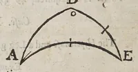
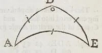
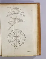
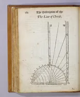
Practical navigation by John Seller, printed in London in 1680 and sold through several booksellers, is a manual for seamen and navigators covering geometry, plane and spherical trigonometry, charts, instruments and navigational tables. Its pictures are small geometric diagrams of arcs and triangles, plus instrument and globe illustrations such as a line of chords scale with its sector arcs, useful for a designer seeking compact technical linework and angular construction.