Notice-sur la Côte d'Ivoire
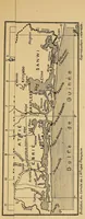
A French colonial ministry pamphlet of 1900, prepared by Pierre Mille for the Paris Universal Exposition, presenting the Ivory Coast to visitors and officials. The single picture is a long, narrow vertical map of the coast with its rivers, lagoons, and regional names labelled in ink, with the Gulf of Guinea running down its right edge; a designer might take its dense hand-lettered place names and tidy cartographic linework as a model for an antique trade-route or territory chart.