The map of Africa by treaty
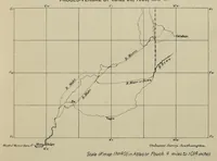
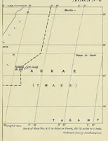
The Map of Africa by Treaty is a 1909 London government compilation, printed for His Majesty's Stationery Office, that gathers Africa's colonial boundaries as set by European treaties, drawn for diplomats and officials. The two pictures are plain black-and-white survey maps with fine ruled graticule lines, latitude and longitude labels, dashed boundary lines, rivers and place names, and a scale bar, offering a designer clean cartographic linework and a precise, technical grid structure to borrow.