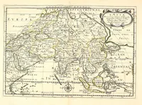
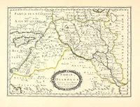
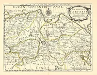
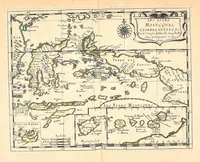
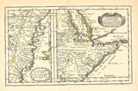
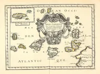
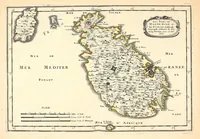
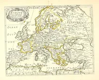
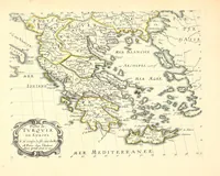
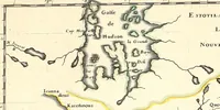
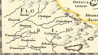
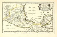
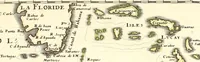
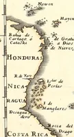
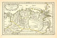
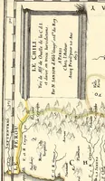
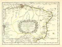
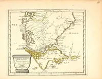
[L'Asie, l'Afrique, l'Europe, et l'Amerique en plusieurs cartes nouvelles, et exactes] [cartographic material]
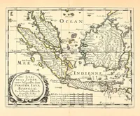
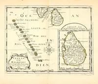
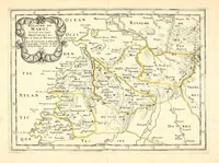
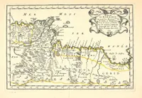
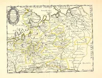
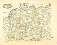
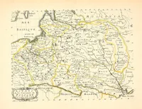
A 1658 French atlas of maps of Asia, Africa, Europe and America, made by the Paris cartographer Nicolas Sanson and published in Paris for a learned and courtly readership. The four pictured sheets show engraved maps of North Africa and Barbary, South America's southern tip with the Strait of Magellan, Brazil, and central Europe with Tartary, with coastlines, rivers and place names in fine line and tinted boundaries. A designer could take the restrained engraved linework, the hand-coloured borders and the decorative cartouches with their scrolled frames and lettering.