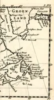
L'Amérique angloise, ou Description des isles et terres du roi d'Angleterre, dans l'Amérique
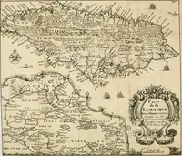
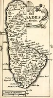
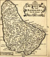
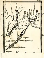
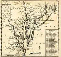
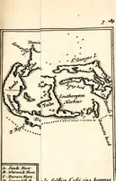
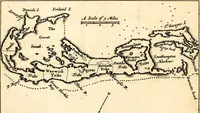
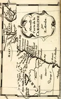
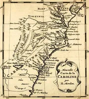
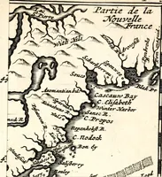
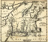
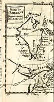
L'Amérique angloise is a 1688 French-language account of the English colonies and islands in America, compiled by Richard Blome and printed at Amsterdam by A. Wolfgang for French-reading readers. Its pictures are engraved maps of coastlines, rivers, harbours and forts, drawn with fine hatched shading and dotted boundary lines that a designer could use as cartographic texture or antique navigation references.