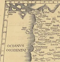
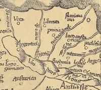
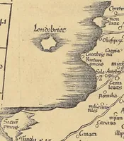
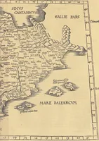
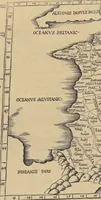
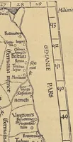
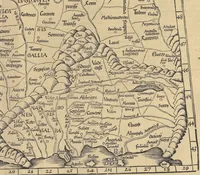
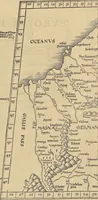
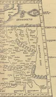
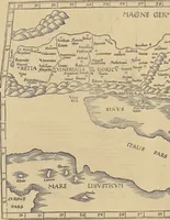
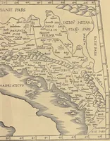
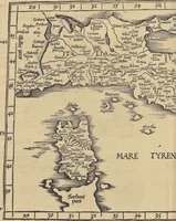
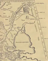
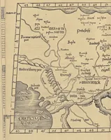
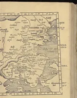
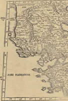
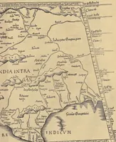
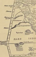
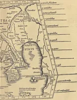
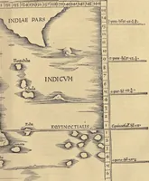
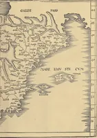
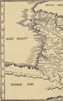
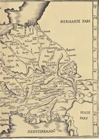
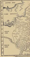
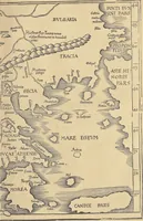
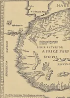
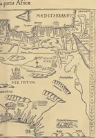
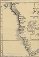
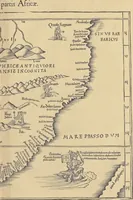
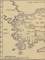
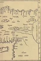
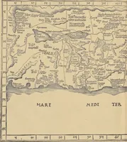
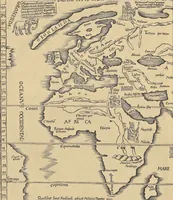
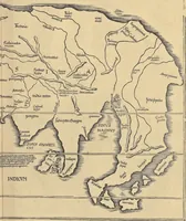
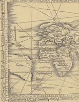
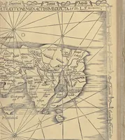
Clavdii Ptolemaei Alexandrini Geographicae enarrationis libri octo
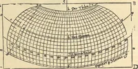
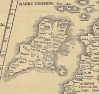
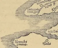
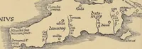
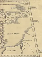
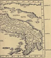
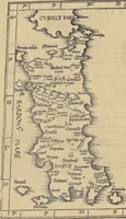
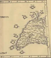
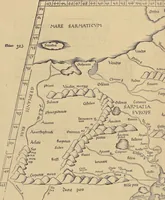
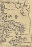
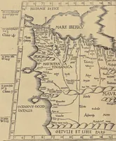
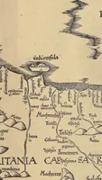
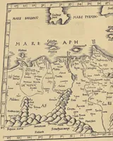
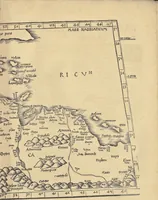
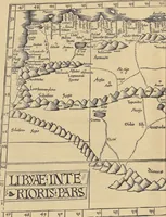
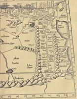
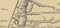
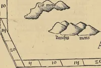
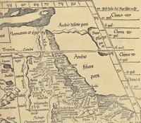
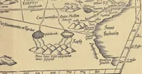
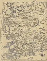
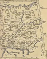
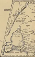
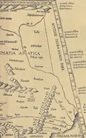
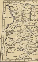
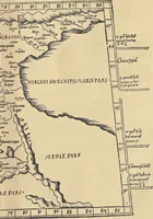
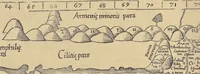
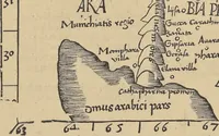
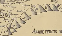
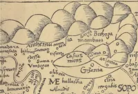
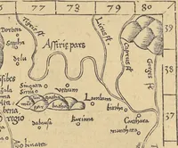
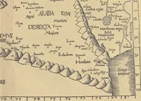
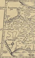
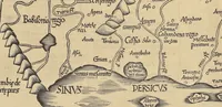
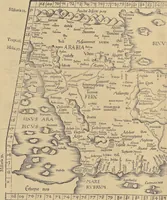
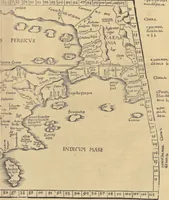
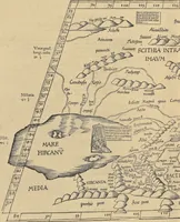
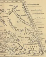
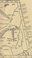
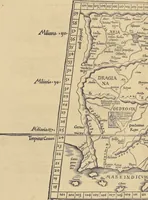
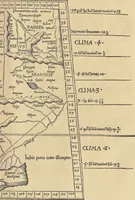
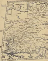
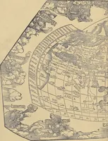
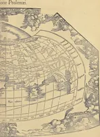
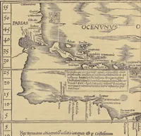
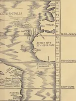
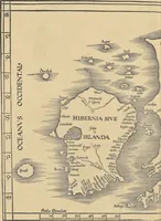
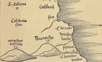
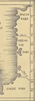
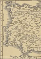
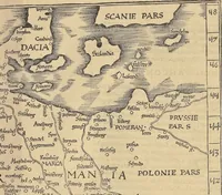
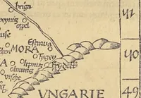
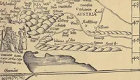
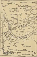
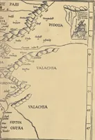
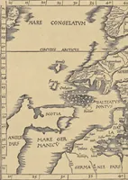
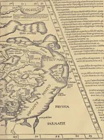
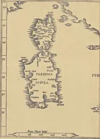
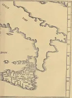
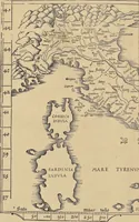
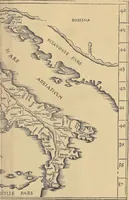
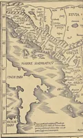
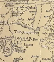
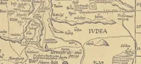
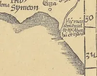
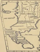
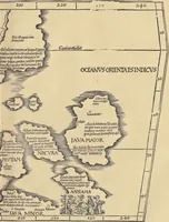
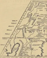
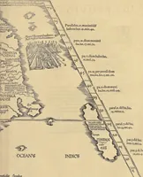
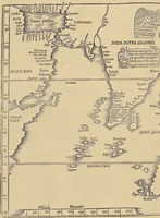
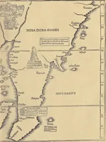
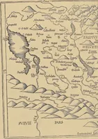
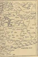
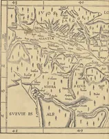
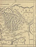
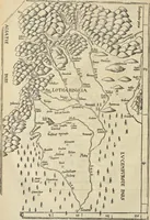
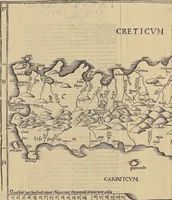
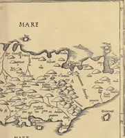
Ptolemy's Geographia, a 1541 Lyon edition of the second-century Alexandrian geographer's eight books, edited by Willibald Pirckheimer and Michael Servetus, with Dürer's woodcut maps printed for scholars and cartographers. The pictures are dense, hand-lettered copperplate-style woodcut maps with coastlines, mountain ranges drawn as stippled hatching, and grid coordinates along the margins, offering a designer ideas for antique cartographic framing, typography and sea-and-land linework.