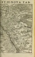
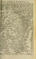
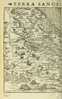
Geographia uniuersalis : uetus et noua, complectens Claudii Ptoloemaei Alexandrini enarrationis libros VIII
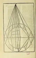
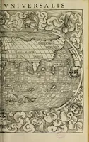
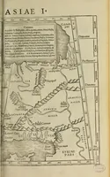
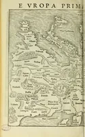
A 1540 Basel edition of Ptolemy's Geographia, edited by Sebastian Münster and printed by Heinrich Petri, with its woodcut maps of regions and the Holy Land. The pictures are plain black-and-white woodcut maps dense with place names, hill and river symbols, and small ship and sea-monster details, offering a designer ideas for early cartographic lettering, decorative borders and map illustration.