Documentos y planos relativos al período edilicio colonial de la ciudad de Buenos Aires
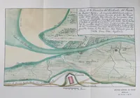
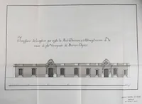
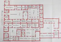
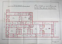
A 1910 Buenos Aires publication from J. Peuser gathering documents and plans of the colonial-era city, mainly for civic and architectural record rather than general readers. Its four plates are hand-drawn ground plans, a river-and-land survey map, and a formal street elevation, drawn in red, green and black line with Spanish labels and lettering. A designer might take the crisp plan layouts, the restrained red-outline walls and the elegant script titles as models for architectural diagrams or heritage-style maps.