Claudii Ptolemaei Alexandrini Geographicæ enarrationis libri octo
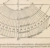
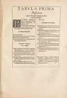
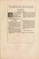
Ptolemy's Geographia, edited by Michael Servetus and printed in Lyon in 1541, is a scholarly geography text for learned readers of the Renaissance. Its pages show typeset tables of place names with coordinates in two columns, and a diagram of curved latitude bands ruled with fine radiating lines and labelled with degree numbers, a clear model for a designer seeking early cartographic grids and classical lettering.