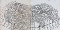
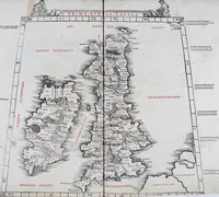
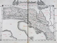
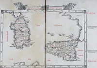
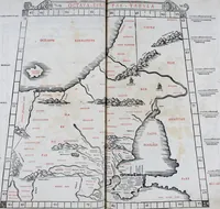
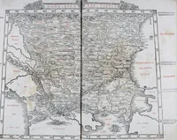
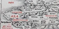
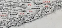
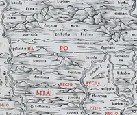
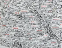
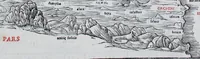
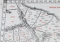
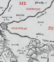
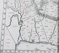
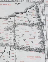
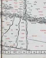
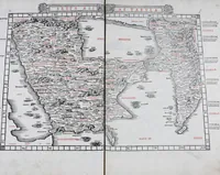
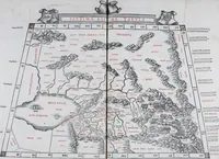
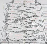
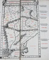
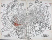
Claudii Ptholemaei Alexandrini Liber geographiae cum tabulis et uniuersali figura : et cum additione locorum quae a recentioribus reperta sunt diligenti cura emendatus et impressus
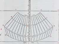
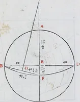
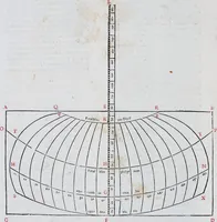
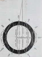
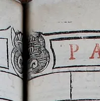
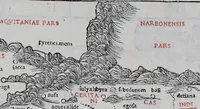
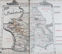
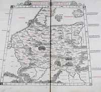
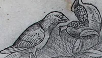
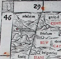
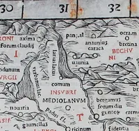
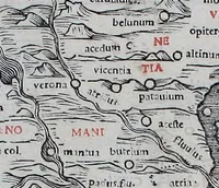
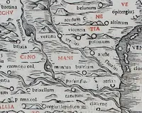
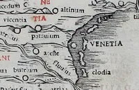
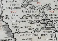
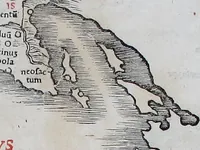
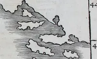
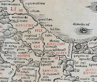
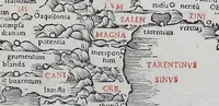
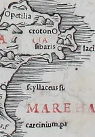
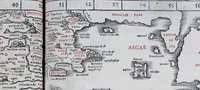
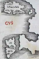
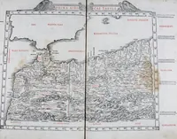
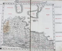
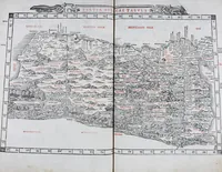
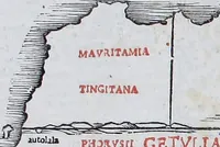
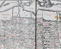
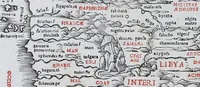
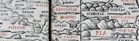
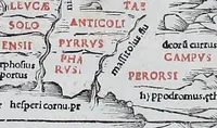
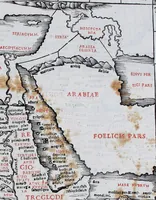
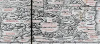
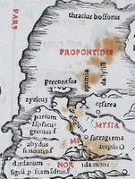
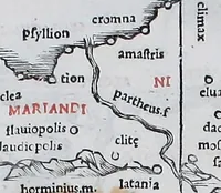
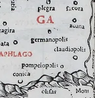
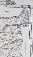
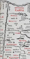
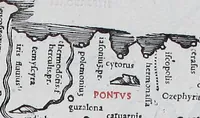
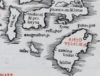
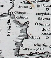
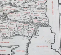
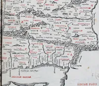
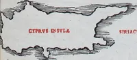
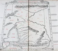
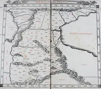
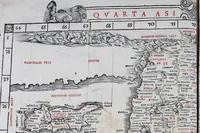
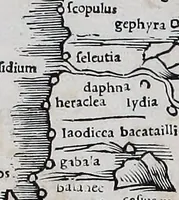
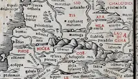
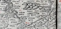
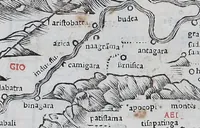
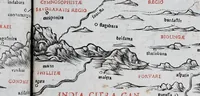
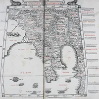
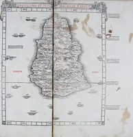
Ptolemy's Geography, printed in Venice in 1511 from woodcut maps, is a scholarly atlas for geographers and learned readers of the Renaissance. Its pictures are dense woodcut maps with black linework, red-printed region names and small town symbols, offering designers a model of early cartographic lettering and ornament.