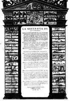
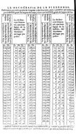
La mecographie de l'Eymant [microforme] : c'est a dire, la description des longitudes trouvées par les observations des declinaisons de l'Eymant en laquelle par un moyen trescertain, & cy devant incognu ...
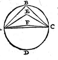
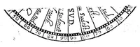
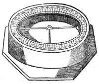
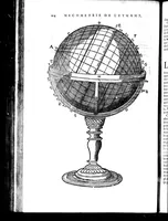
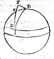
La mecographie de l'Eymant is a 1604 treatise on determining longitude by observing the magnetic declination of the lodestone, written by Guillaume de Nautonier and printed in an unnamed place, aimed at navigators and geographers. Its diagrams show a globe with marked great circles, a graduated magnetic compass dial on a stone base, and a geometric figure of a circle with inscribed triangles, all in plain line drawing that suggests clear technical schematics for instrument and map work.