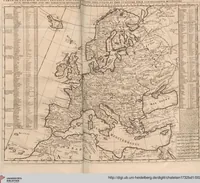
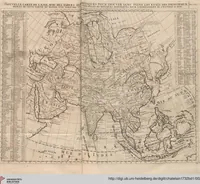
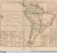
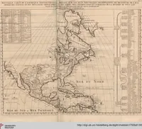
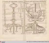
Atlas Historique, Ou Nouvelle Introduction A l'Histoire, à la Chronologie & à la Géographie Ancienne & Moderne: Représentée dans de Nouvelles Cartes, Où l'on remarque l'établissement des Etats & empires du Monde, leur durée, leur chûte, & leurs differens Gouvernemens ...: Contenant la Grèce, l'Histoire Romaine, Rome Moderne, Naples, la France, l'Espagne, & les Provinces Unies
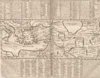
An 1739 French historical atlas by Henri Abraham Chatelain, edited by Nicolas Gueudeville, presenting ancient and modern geography, chronology and history through maps for readers interested in Greece, Rome, Naples, France, Spain and the United Provinces. The four pictures are near-identical woodcut ornamental frames, each with a crowned bust of a king set on a shield of fleurs-de-lis between scrolling foliage and a grotesque mask at the top. A designer could take the symmetrical scrollwork, leaf tendrils and cartouche structure as a model for decorative borders and heraldic frames.