Bulletin
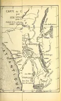
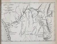
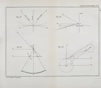
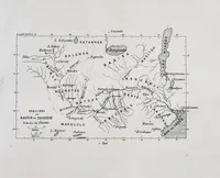
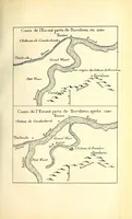
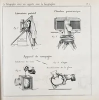
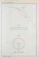
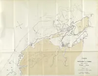
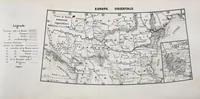
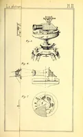
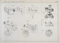
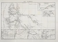
This is a Brussels geographical society bulletin of 1877, issued by the Société belge de géographie for its members and readers of geography. Its pictures are folding maps and technical plates: a sketch of the Zambezi basin with river and place names, a survey chart of a coastal region with shaded zones, and a plate of photographic and surveying instruments with optical diagrams. A designer might take clean line-map geometry, hatched shading, and precise instrument drawings as models for diagrammatic work.