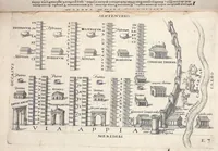
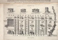
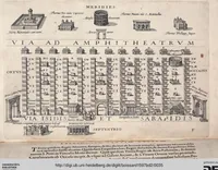
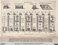
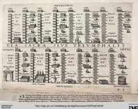
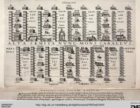
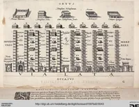
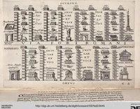
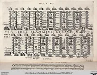
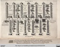
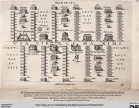
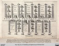
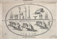
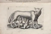
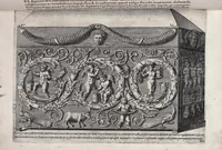
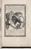
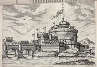
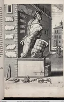
... Pars Romanae Vrbis Topographiae & Antiquitatum: Topographia Romanae Urbis iam inde ab V.C. ad nostra usque temporae maxime quando in summo flore fuit, accuratissima Plateae eiusdem cum aedificijs & magnificis structuris publicis, effigiate & ordine digestae, Descriptio ..
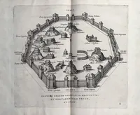
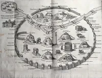
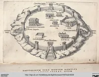
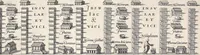
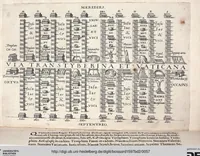
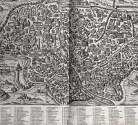
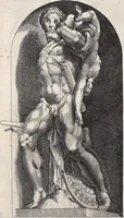
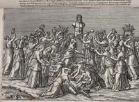
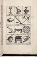
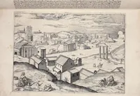
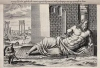
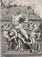
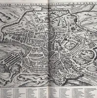
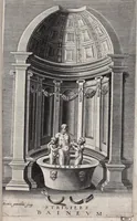
Jean Jacques Boissard's 1597 Latin topography of ancient Rome, published in Frankfurt for scholars and antiquaries, is a second part of his urban study of the city's streets and monuments. Its engraved plates show the city as a bird's-eye grid of streets, with insulae drawn as small facades, temples, arches and baths labelled in Latin, a useful model for dense map-like diagrams and labelled plan layouts.