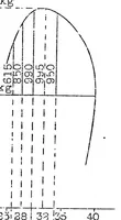
Take-off distance for airplanes
A 1926 technical chart from the NASA Technical Reports Server, compiled for aeronautical engineers, showing airplane take-off distance. The single picture is a black-and-white graph: a curved line rising to a peak above a grid of vertical dashed lines labelled with numbers and kg values, with a horizontal axis along the bottom. A designer might take from it the spare, measured look of early engineering diagrams, with its dashed guides and numeric labels, as a model for technical infographics.