Exploration of the valley of the Amazon
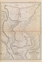
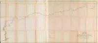
This is an 1853 United States Navy Department report, printed in Washington by the Public Printer, documenting William Lewis Herndon and Lardner Gibbon's survey of the Amazon valley for government readers. The pictures are two folding manuscript-style maps: a long, pale route map tracing a river course with sparse annotation, and a detailed printed chart of the Ríos Huallaga and Ucayali with tributaries, settlements, and a title cartouche. A designer might take the hand-drawn route line and the dense river-network geometry as models for schematic cartography or infrastructure diagrams.