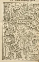
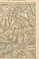
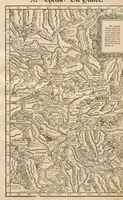
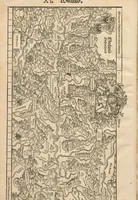
Landtaflen
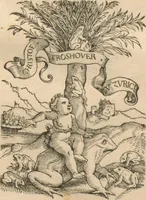
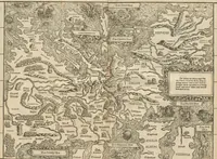
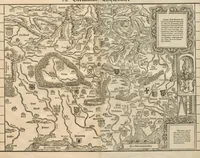
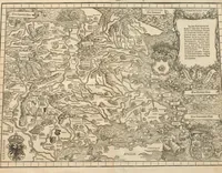
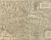
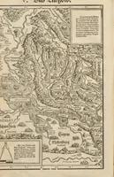
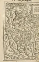
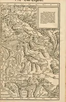
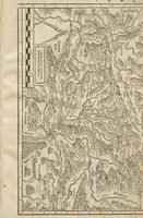
Landtaflen is a 1548 Swiss map book by Johannes Stumpf, printed in Zurich by Christoffel Froschouer for readers of German-speaking Europe. Its pictures are woodcut regional maps dense with hand-lettered place names, hachured mountain ranges, rivers, and heraldic arms, offering a designer strong models for antique cartographic framing, decorative cartouches, and dense topographic linework.