Méthode de lever les plans et les cartes de terre et de mer : avec toutes sortes d'instrumens & sans instrumens
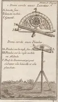
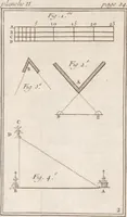
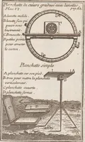
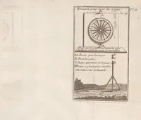
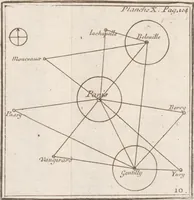
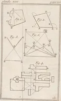
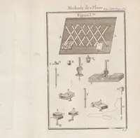
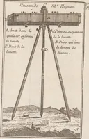
A 1750 Paris surveying manual by Jacques Ozanam, issued by Charles Antoine Jombert, teaching land and sea mapping with and without instruments for surveyors and map-makers. Its plates show geometric triangulation diagrams with dotted sight lines, lettered survey points, and engraved drawings of a graduated copper plane table with telescopes and a half-circle instrument on a tripod, useful for designers wanting precise technical line diagrams and instrument illustrations with clean lettering.