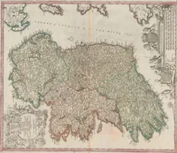
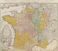
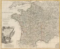
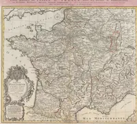
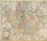
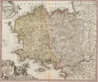
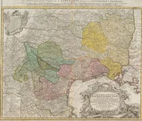
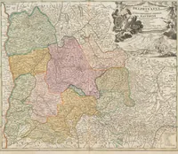
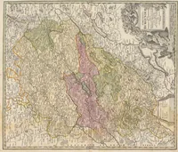
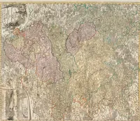
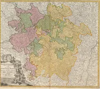
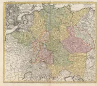
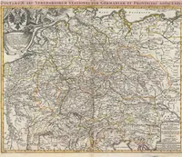
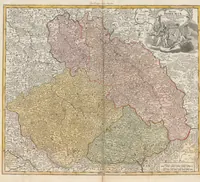
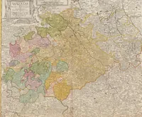
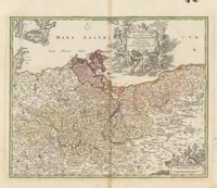
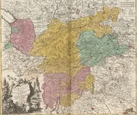
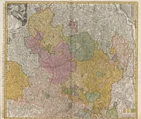
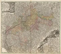
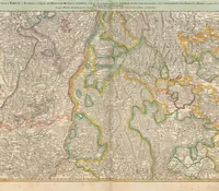
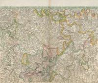
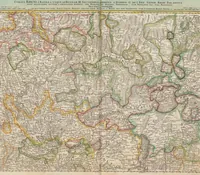
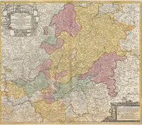
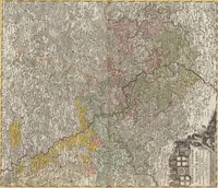
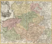
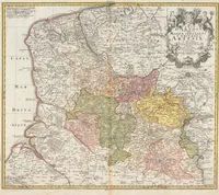
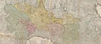
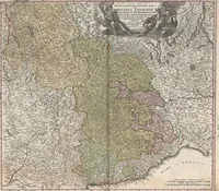
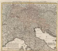
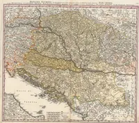
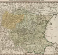
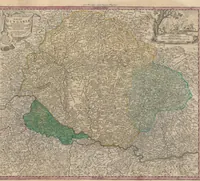
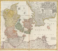
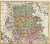
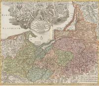
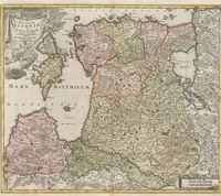
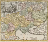
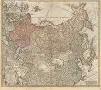
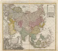
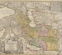
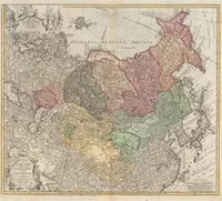
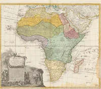
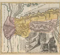
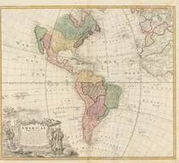
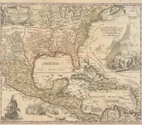
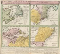
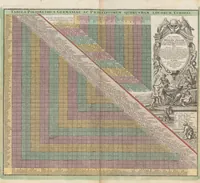
Homannischer Atlas von hündert Landkarten darinne die Erdkugel mit allen ihren Theilen geographisch vorgestellet und nach dem Unterschied der Reiche und Staaten deutlich illuminiert worden : nebst einer Einleitung in die mathematische, natürliche und historische Geographie
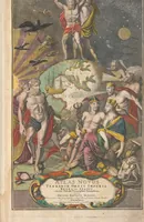
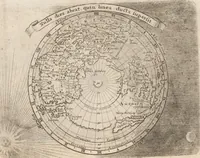
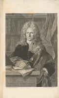
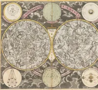
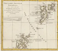
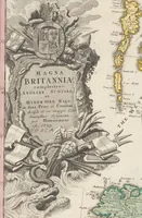
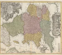
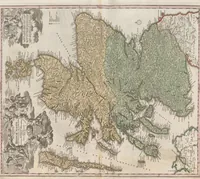
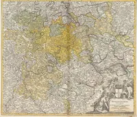
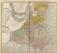
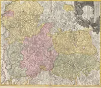
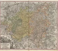
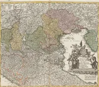
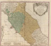
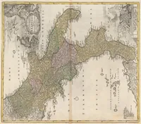
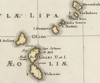
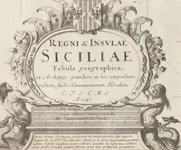
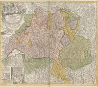
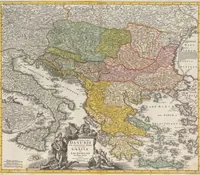
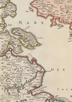
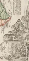
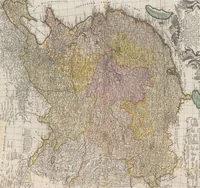
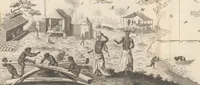
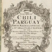
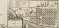
A hand-coloured atlas of one hundred maps compiled by Johann Baptist Homann and published by the Homann heirs in 1747, Germany, for readers wanting a geographical view of the world by country. The pictures are copperplate regional maps with cartouches, decorative title panels and allegorical figures, with coloured territories and dense place-name lettering that a designer could draw on for historical map styling.