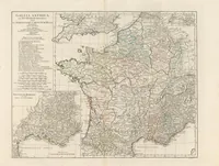
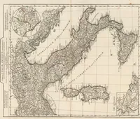
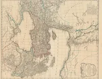
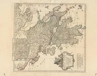
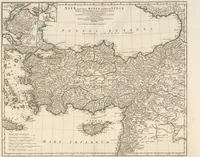
Atlas Antiquus Danvillianus : i. e. XII. Tabbulae geographicae
This 1784 atlas of twelve ancient-world maps was compiled from the work of the French geographer Jean Baptiste Bourguignon d'Anville and published in Germany by the Weigel-Schneider firm, with copies held by the Zürich Zentralbibliothek. Its pictures are engraved maps with fine hatched coastlines, dotted routes, rivers and sea names in italic capitals, and surrounding cartouches, offering a designer ready material for antique map borders, cartographic linework and classical lettering.