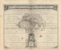
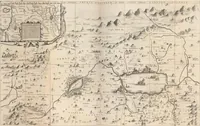
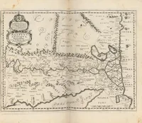
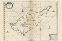
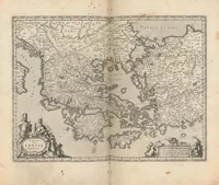
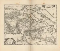
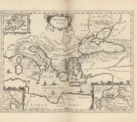
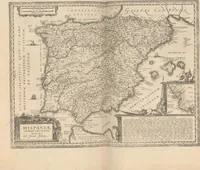
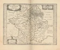
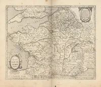
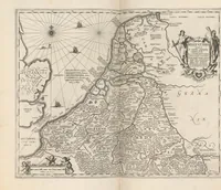
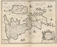
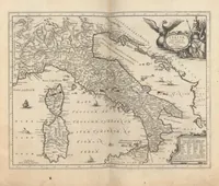
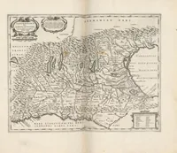
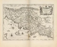
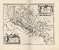
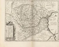
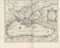
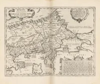
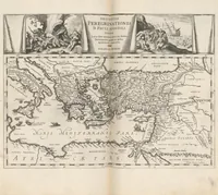
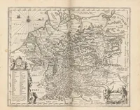
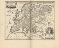
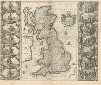
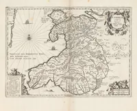
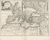
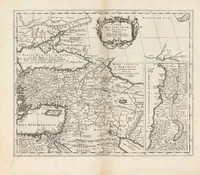
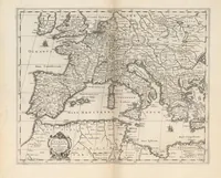
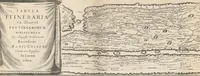
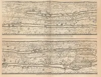
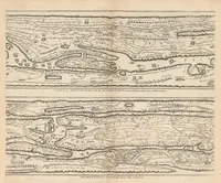
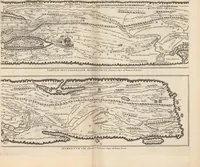
Accuratissima Orbis Antiqui Delineatio, Sive, Geographia Vetus, Sacra & Profana : Exhibens, quicquid Imperiorum, Regnorum, Principatuum, Rerumpublicarum, ab initio rerum, ad praesentem usque mundi statum fuit : Praemissa est Introductio ad Geographiam Antiquam, Aua Orbis Vetus, Gentium Migrationes, populorum Origines & quicquid Historias illustrare potest, breviter refertur
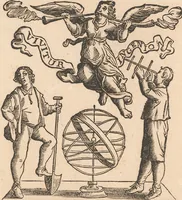
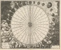
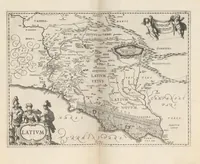
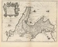
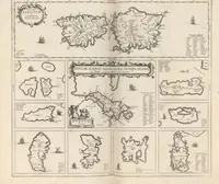
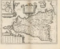
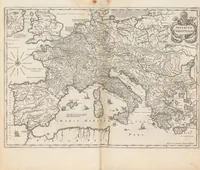
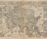
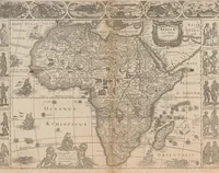
An ancient-world atlas by Georg Horn and Jan Jansson, published in Amsterdam in 1654 and sold by Jansson to scholars and map buyers interested in classical geography. The pictures are copperplate engraved maps with decorative cartouches, compass roses, sea monsters and sailing ships, showing regions of the ancient world with hand-lettered place names and dense hatched mountain ranges and river systems, useful to designers wanting antique cartographic ornament and typography.