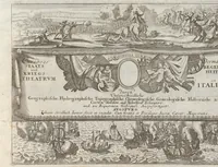
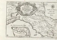
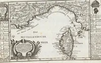
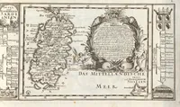
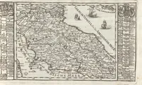
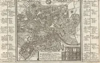
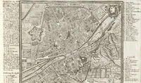
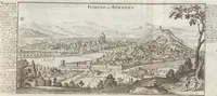
Curioses Staats und Kriegs Theatrum Dermahliger Begebenheiten : durch Unterschiedliche Geographische, Hydrographische, Topographische, Chronologische, Genealogische, Historische &c. Carten, Abrisse, und Tabellen : Erlaeutert und zu Bequaemen Gebrauch Ausgefertiget
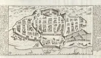
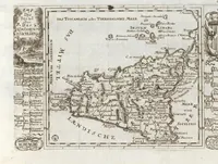
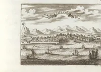
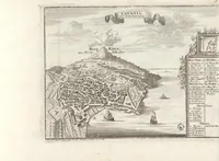
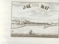
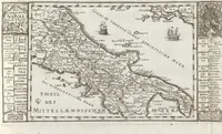
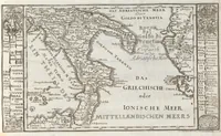
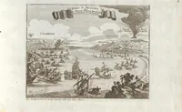
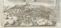
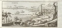
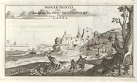
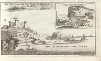
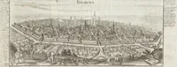
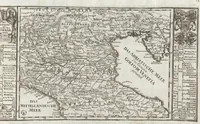
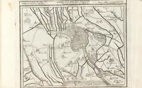
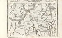
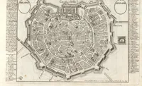
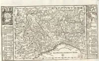
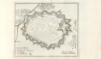
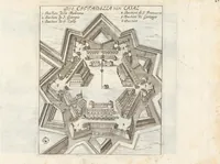
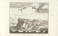
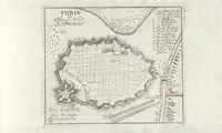
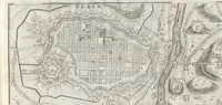
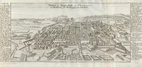
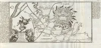
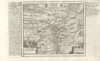
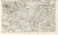
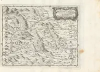
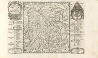
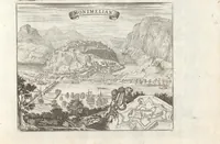
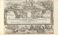
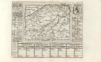
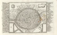
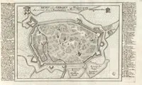
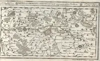
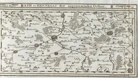
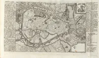
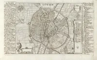
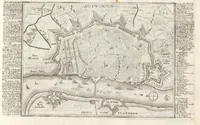
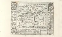
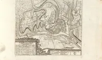
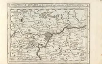
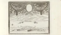
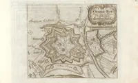
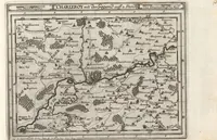
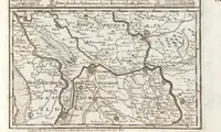
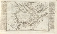
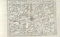
A German atlas of military and political geography compiled by Johann Stridbeck and published in 1710, intended for statesmen and officers wanting maps of current campaigns and regions. Its plates are copperplate engravings of towns, fortresses and provinces, with town plans, decorative cartouches, and dense German lettering in the margins. A designer might draw on the framed cartouches, the star-shaped fortress plans, and the hatched mountain relief for historical map styling.