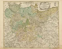
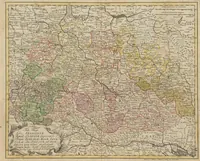
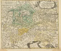
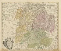
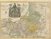
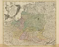
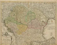
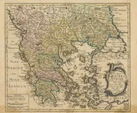
Atlas Geographicus Omnes Orbis Terrarum Regiones In XLI Tabulas Exhibens
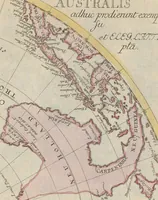
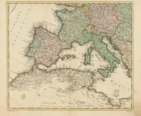
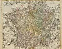
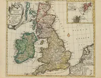
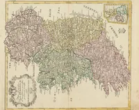
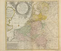
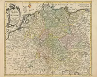
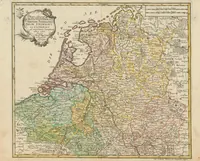
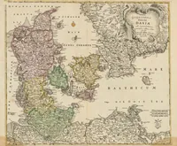
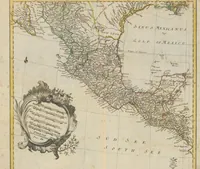
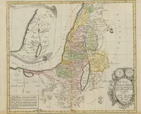
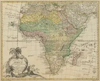
This is an atlas of 41 hand-coloured copper-engraved maps of world regions, produced in 1753 by the Berlin Royal Academy of Sciences with Leonhard Euler and printed by Michaelis for scholars and geographers. The sample maps show regional boundaries in pale washes of green, yellow, pink and blue, with dense place names, lettered cartouches and compass roses, offering a designer historic cartographic framing, decorative border ornament and muted antique palettes.