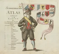
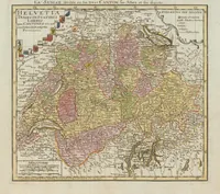
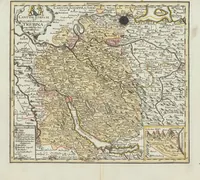
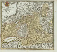
Schweizerischer Atlas : bestehend in 19 Carten
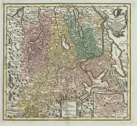
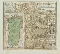
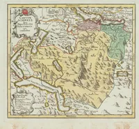
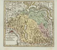
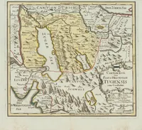
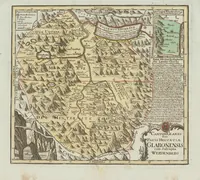
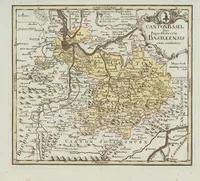
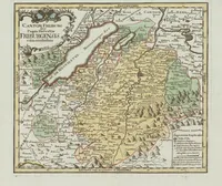
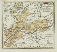
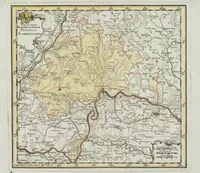
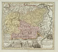
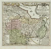
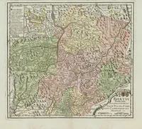
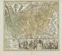
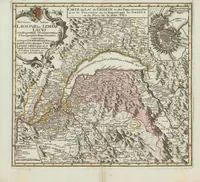
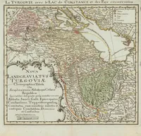
A set of nineteen hand-coloured copper-engraved maps of the cantons of Switzerland, compiled by Gabriel Walser and published in Germany around 1770 for readers wanting regional geography. The sheets show political boundaries, lakes, rivers and mountains in pale washes of yellow, green, pink and blue, with decorative cartouches and town labels in small lettering; a designer could take the clear regional colour blocking and the ornamented title panels as reference for antique cartographic style.