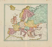
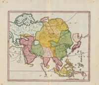
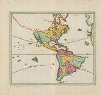
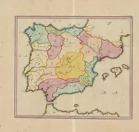
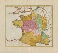
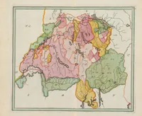
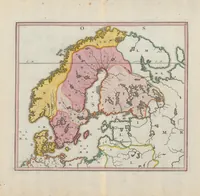
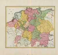
Atlas Methodicus Explorandis Juvenum Profectibus In Studio Geographico Ad Methodum Hübnerianam Accommodatus : = Methodischer Atlas Das ist, Art und Weise, Wie die Jugend in Erlernung der Geographie füglich examiniret werden kan, nach Hübnerischer Lehr-Art
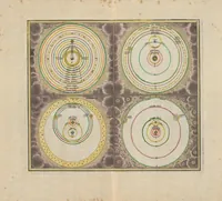
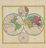
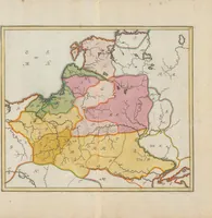
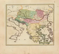
This is a 1719 Nuremberg-published teaching atlas by cartographer Johann Baptist Homann, made for students of geography under the Hübner method and framed as a blank-map examination set. The four hand-coloured maps show Eastern Europe, Germany, Asia and France in flat colour blocks with fine hatched coastlines and rivers, and a designer might borrow their clean regional colour palette and simple territorial patterning.