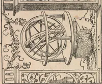
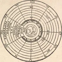
Circuli Spaerae cum V. Zonis
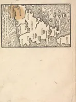
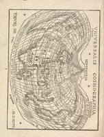
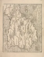
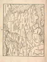
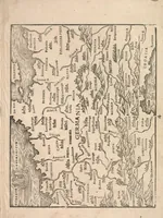
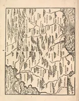
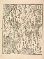
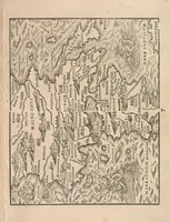
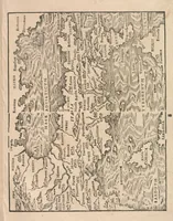
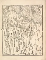
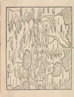
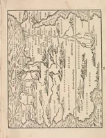
A 1565 cosmography by Johannes Honterus, with woodcut maps by Heinrich Vogtherr, printed by Froschauer, most likely in Zurich and for scholars and students of geography. The pictures are sideways-printed woodcut maps of Europe, Asia, Africa and the known world, with dense place names, hatched mountain ranges and wavy river lines that show how sixteenth-century cartographers drew coastlines and terrain by hand. A designer could draw on the bold black-and-white line work, the hatched relief and the decorative cartouche-free framing of these early printed maps.