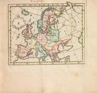
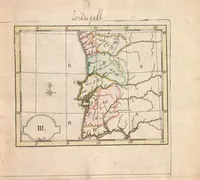
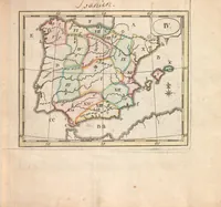
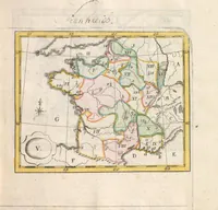
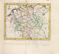
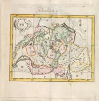
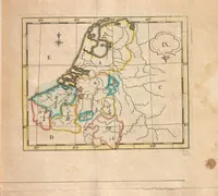
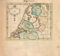
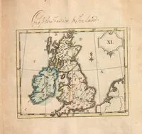
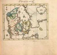
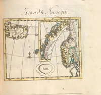
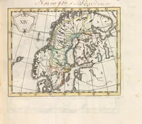
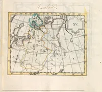
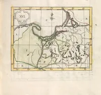
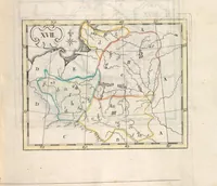
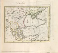
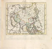
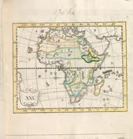
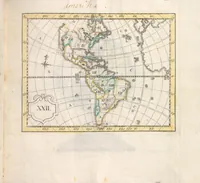
[Atlas des enfans, ou, Nouvelle méthode pour apprendre la géographie] : [avec un nouveau traité de la sphere]
A French children's geography atlas published in Lyon in 1774 by Jean Marie Bruyset, père & fils, with maps by Christiaan Sepp and Joseph Friedrich Rein, intended for teaching children geography. Its numbered copperplate-style maps are hand-coloured in pale washes with Roman numerals, lettered grid boxes, and decorative cartouches framed by ruled borders, showing a plain, schematic cartographic style a designer could borrow for diagrammatic layouts and labelled framing.