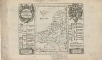
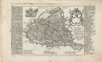
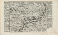
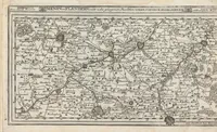
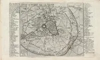
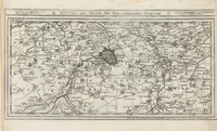
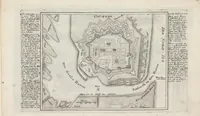
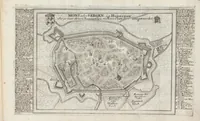
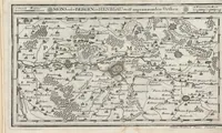
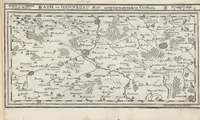
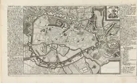
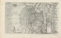
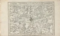
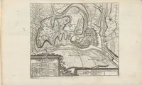
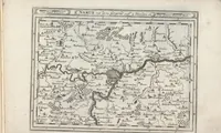
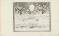
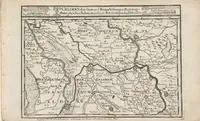
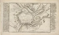
Die Niederland nach denen XVII Provincien eingetheilet : Cum Gratiae Privilegio Sacrae Caesareae Majestatis
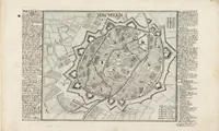
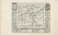
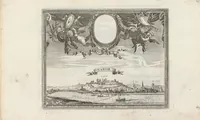
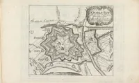
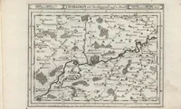
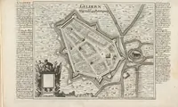
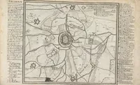
A late seventeenth-century German atlas of the Low Countries, published by Johann Stridbeck in 1700 with an imperial privilege, and held by the Zentralbibliothek Zürich. Its pictures are copperplate town plans and battle maps with dense German and Latin keys framing each sheet, so a designer could draw on their fortress outlines, star-shaped bastions and hand-lettered marginal legends for period map styling.