Methode de lever les plans et les cartes de terre et de mer avec toutes sortes d'Instrumens, & sans Instrumens ...
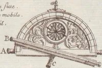
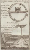
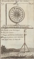
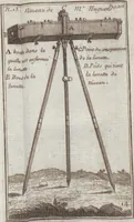
Methode de lever les plans et les cartes de terre et de mer is a 1716 French surveying manual by Jacques Ozanam, published in Paris by Claude Jombert for surveyors and mapmakers learning to survey land and sea with and without instruments. Its plates show engraved surveying instruments such as a compass, a graduated circle with sights, a level on a tripod, and a semicircular protractor with a sight arm, each labelled with lettered keys and set against plain outdoor ground, giving a designer clear, orderly diagrams of early precision tools.