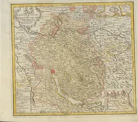
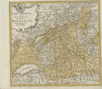
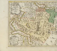
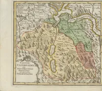
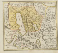
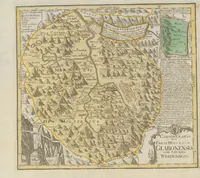
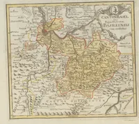
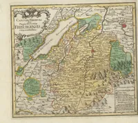
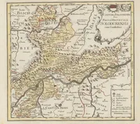
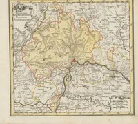
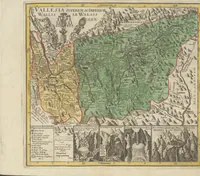
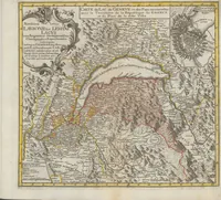
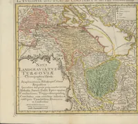
Schweizerischer Atlas : bestehend in 19 Carten
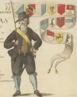
A set of hand-coloured copperplate maps of the Swiss cantons, issued as an atlas in 1770 by Gabriel Walser and Johann Conrad Müller, probably from the Homann heirs' Nuremberg presses. Each sheet is a regional survey with a decorative cartouche, a title block, and a compass-free border, so the pictures show an eighteenth-century cartographic style rather than a narrative. A designer could draw on the cartouches, hand-tinted provincial colour washes, and dense hatched relief of mountains and lakes.